
📍Planialtimetric Topographic
- Aug 15, 2025
- 1 min read
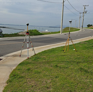
The planialtimetric topographic survey accurately measures the shape and elevation of the land. It shows the location of points, contours, and slopes, aiding in the planning and execution of construction works. It is carried out using equipment such as a total station and GPS to ensure that the project matches the actual conditions of the site.


Comments